Obstructed: The Journey to Ventana Double Cone

A Little Longer, Trips
CrampedUp_DoubleCone_11
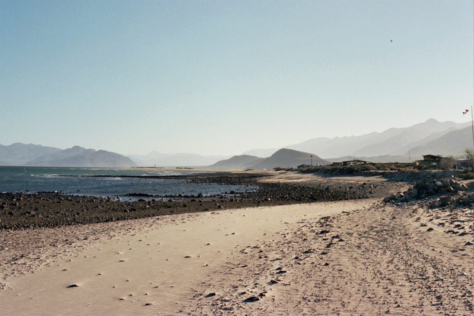
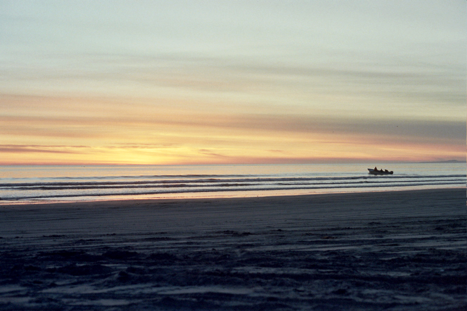
Ventana Double Cone – Out + Back – 34 miles
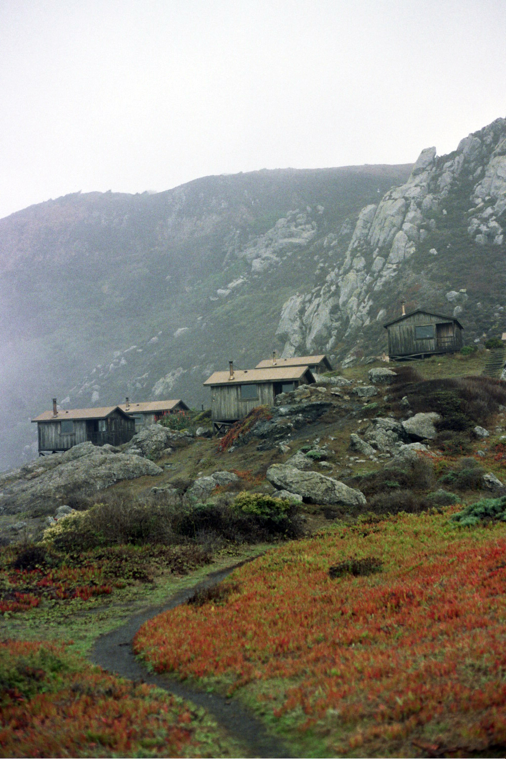
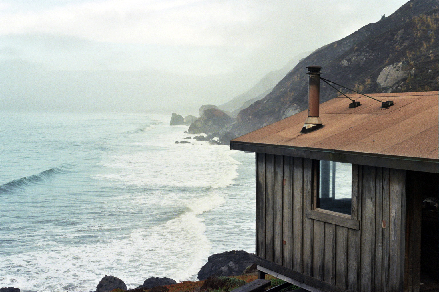
Day 1 – 8.5 miles – Bottcher’s Gap to Pat Spring
Day 2 – 17 miles – Pat Spring to Double Cone Summit and back to Pat Spring
Day 3 – 8.5 miles – Pat Spring to Bottcher’s Gap
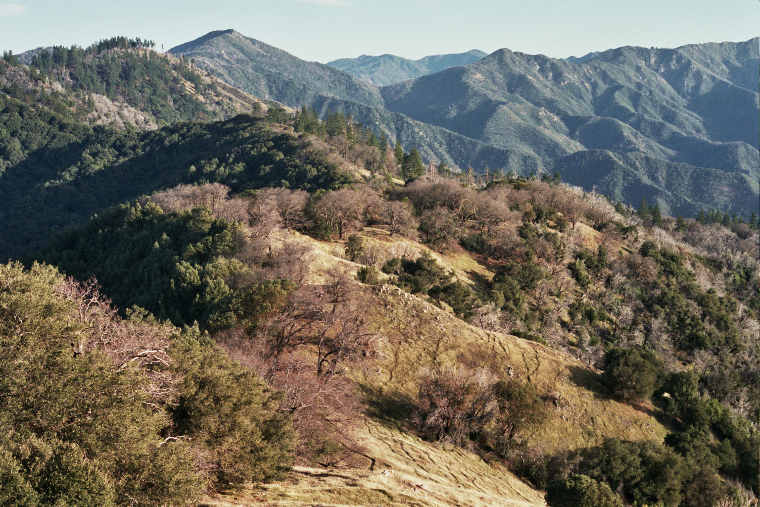
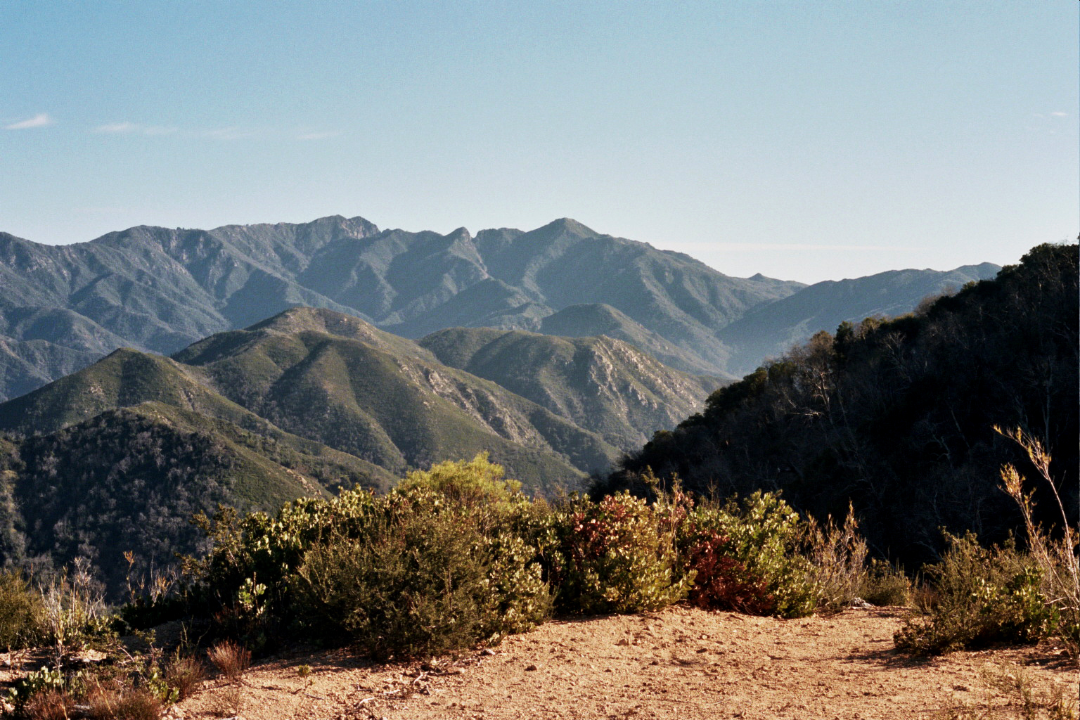
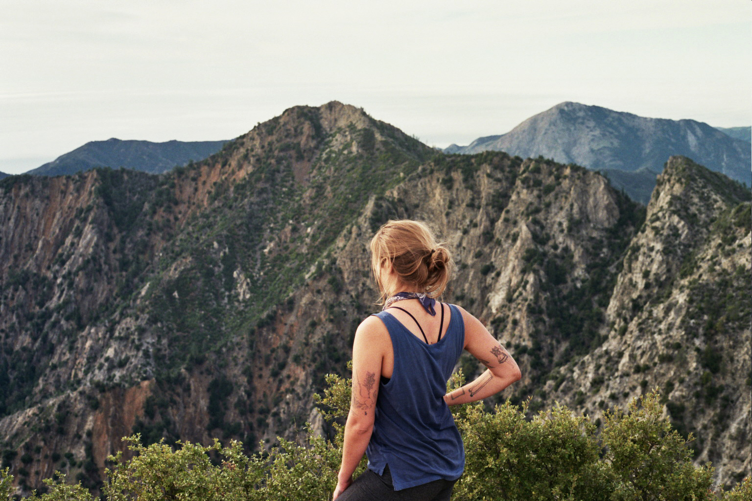
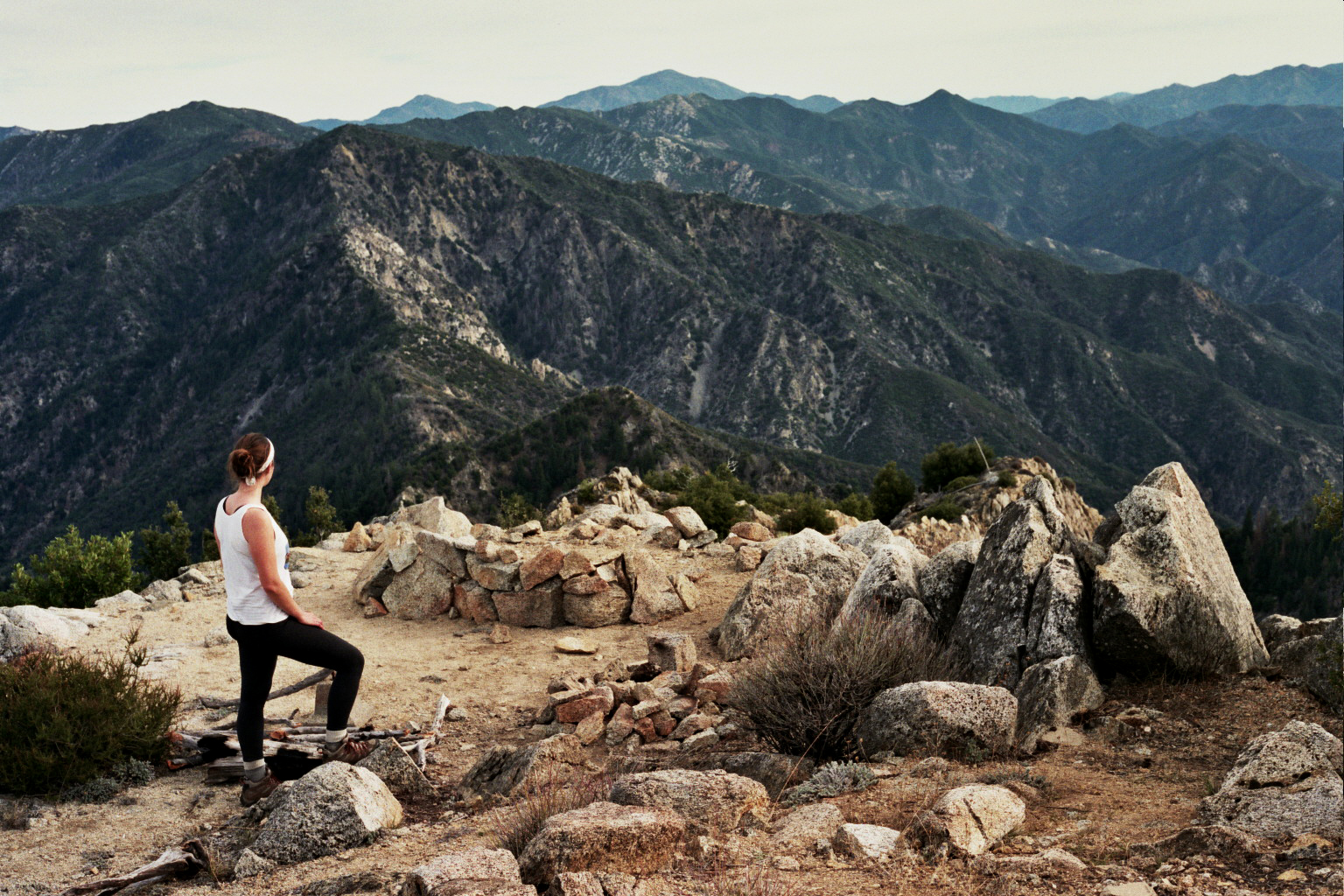
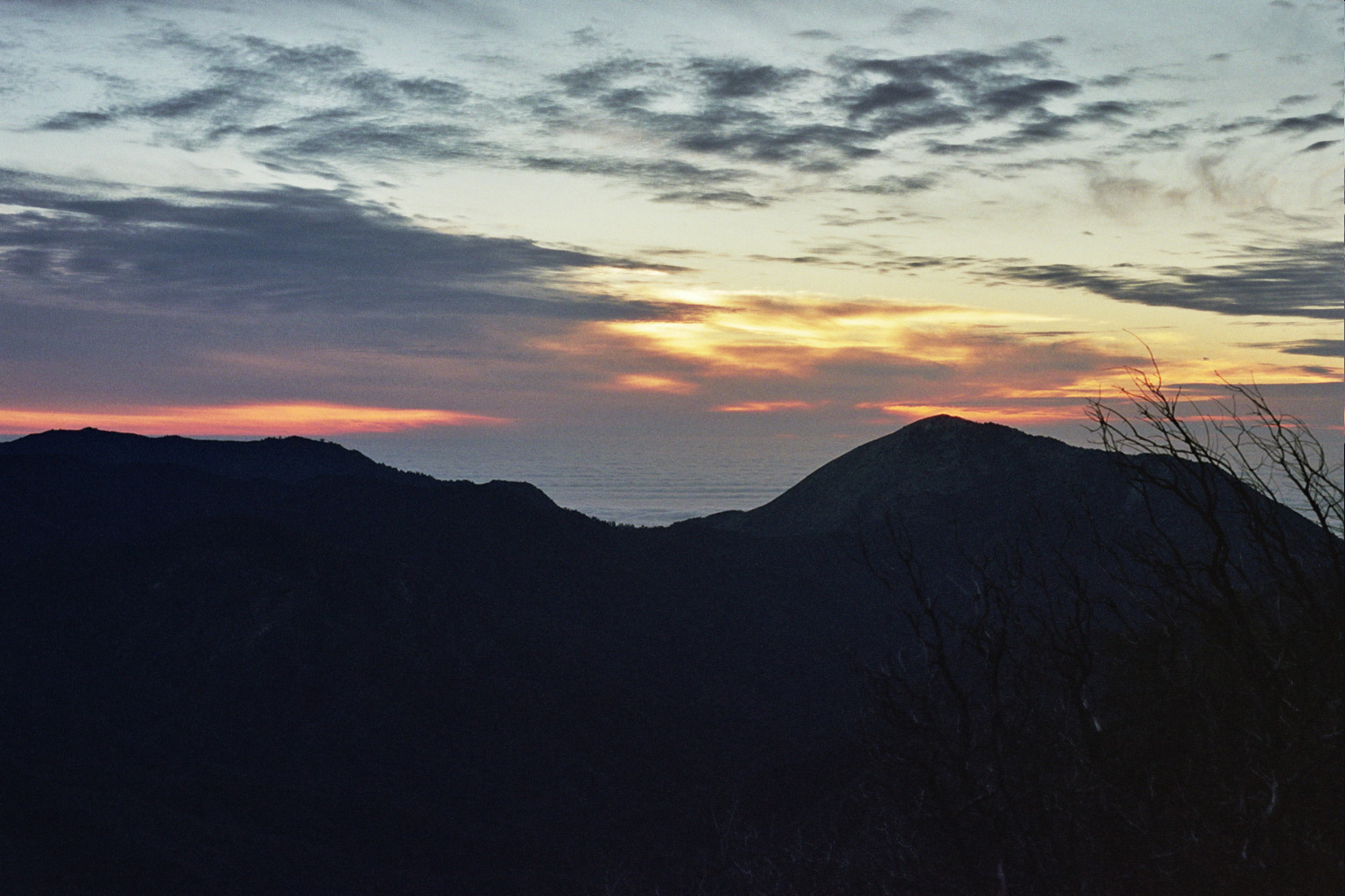
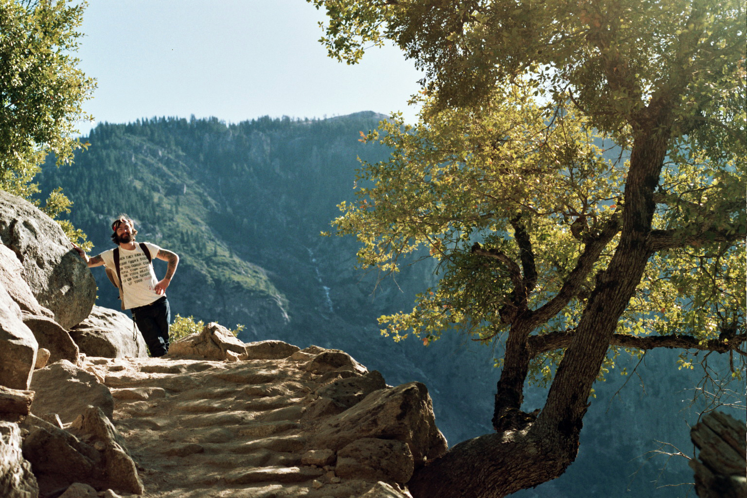
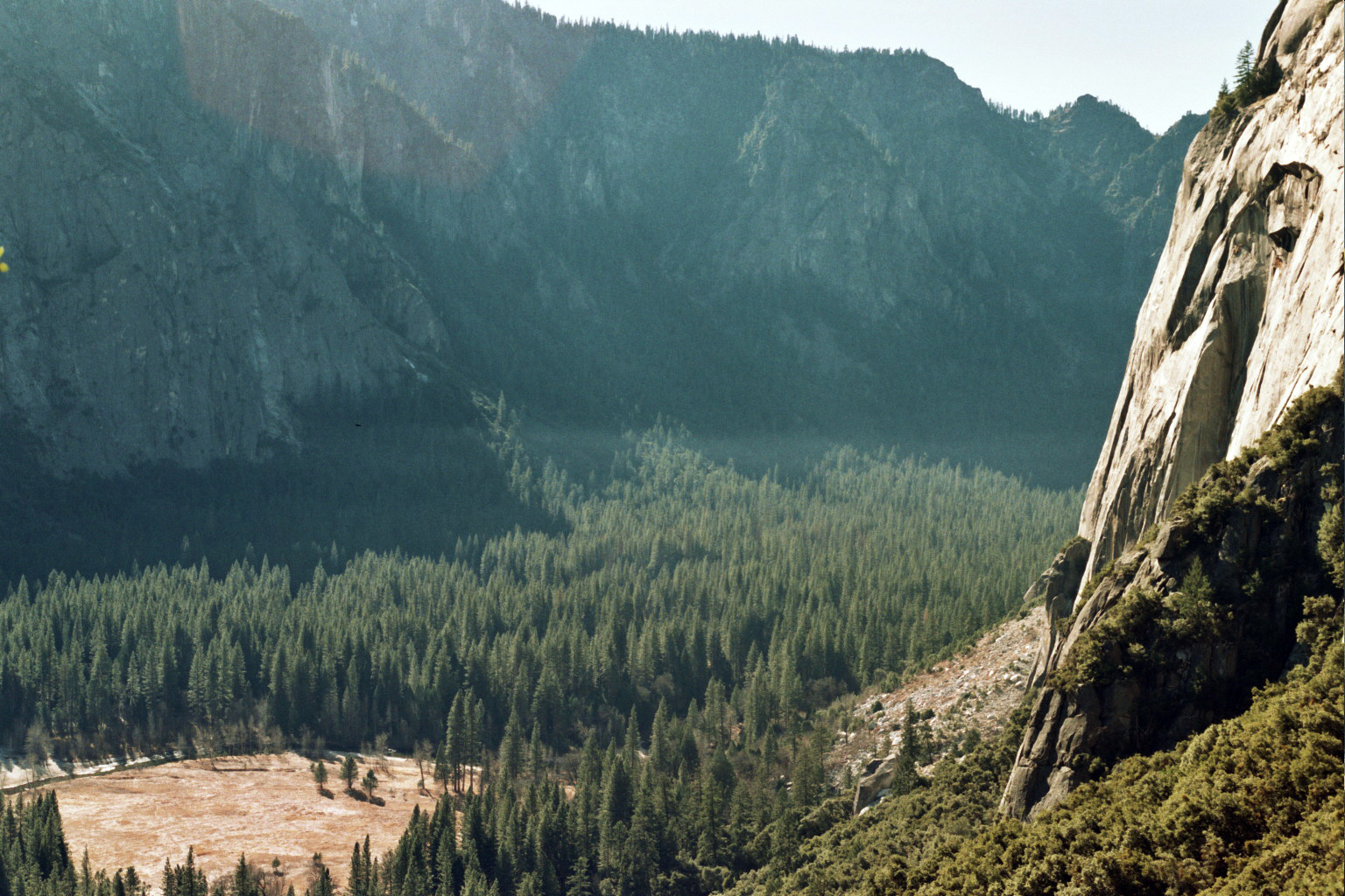
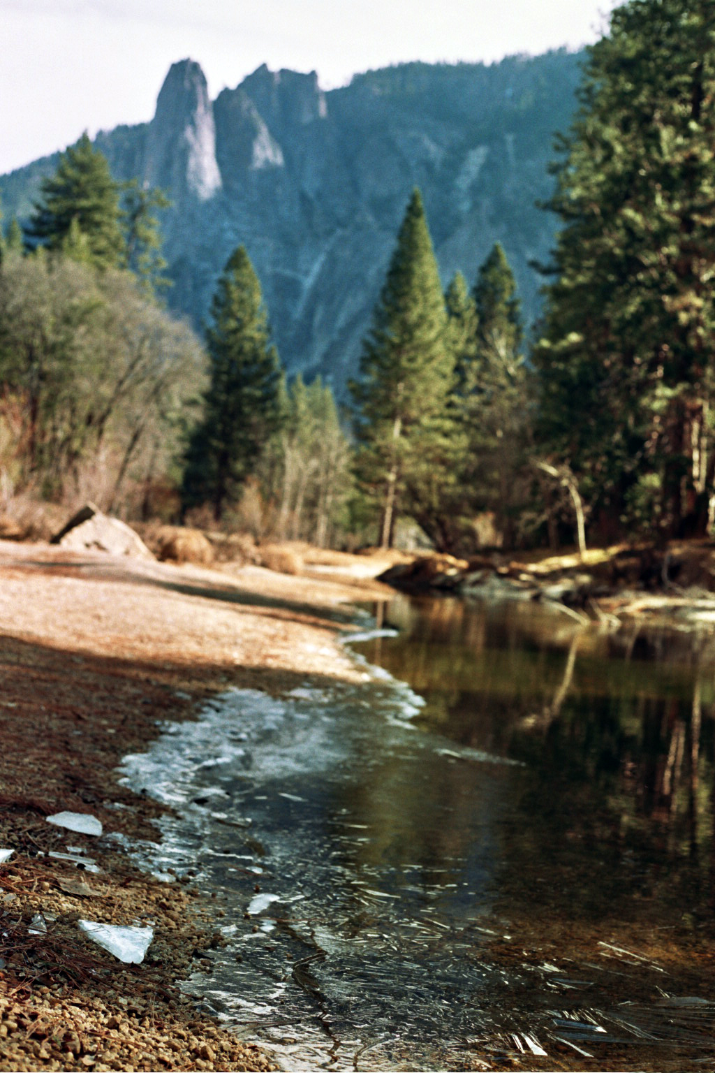
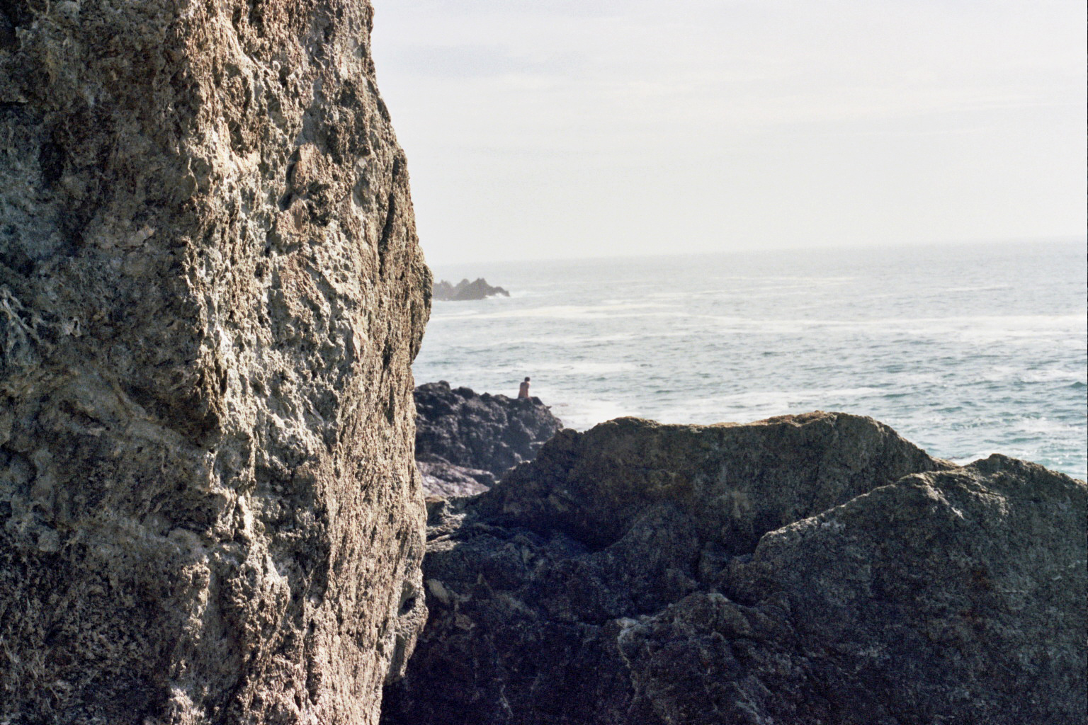
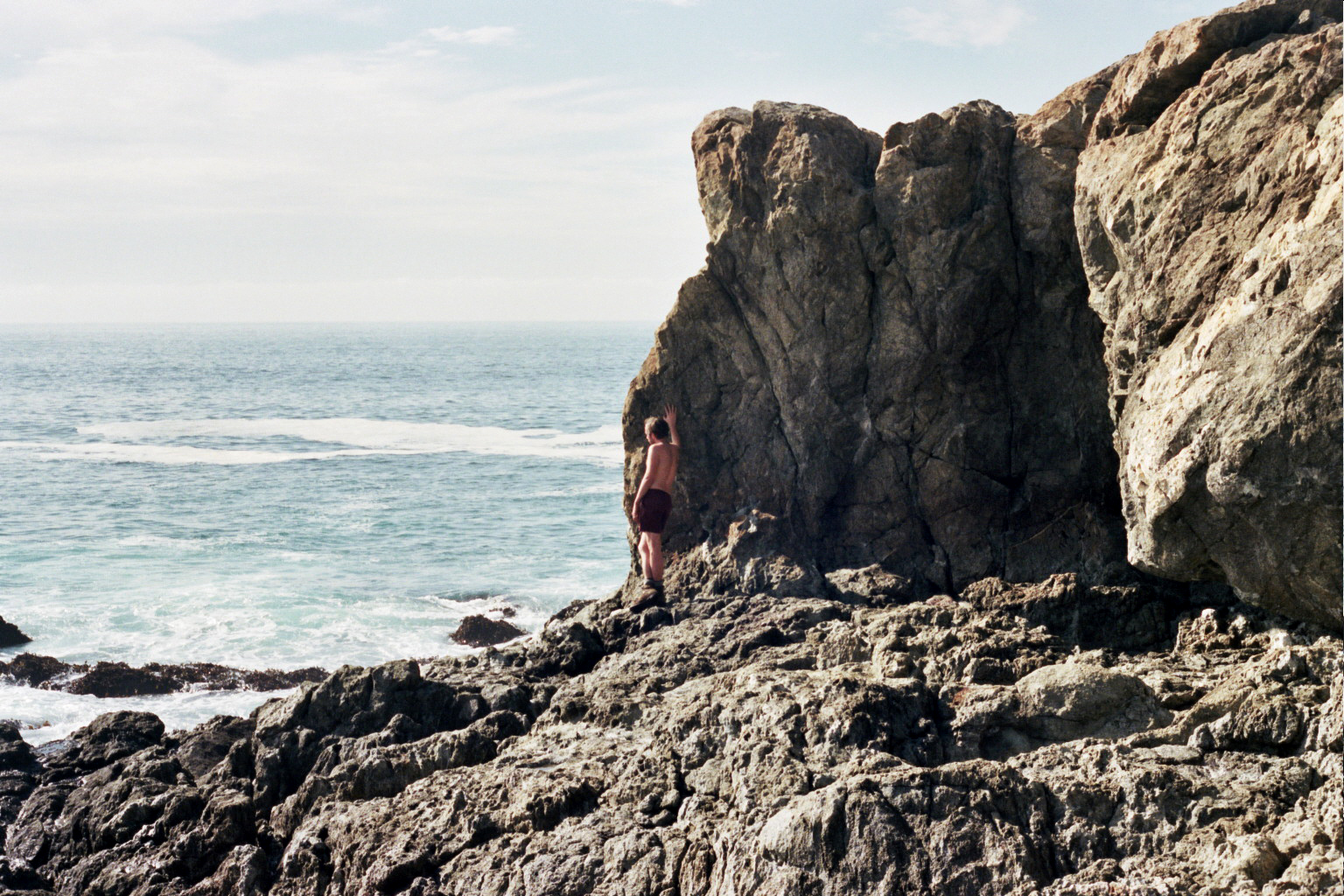
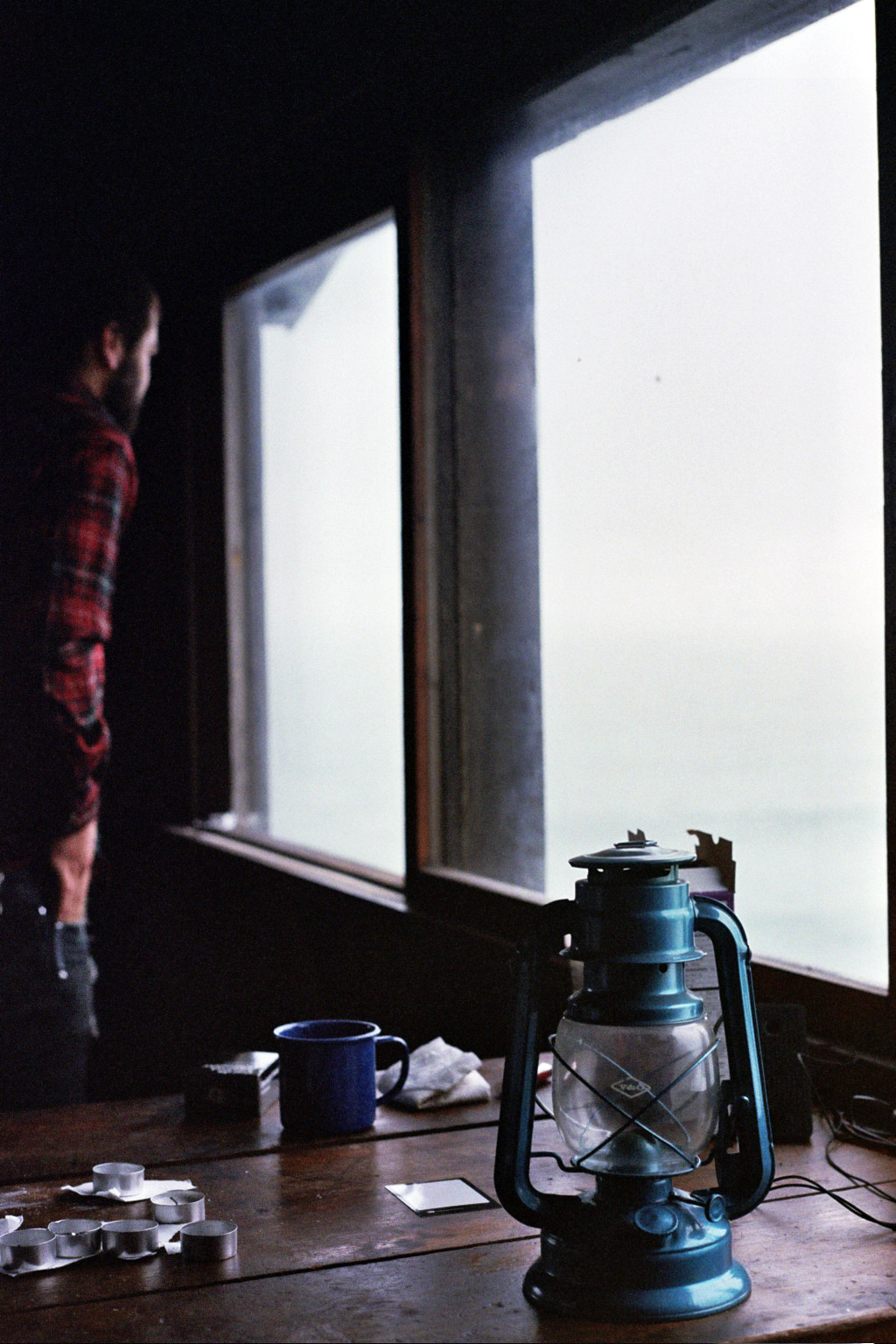
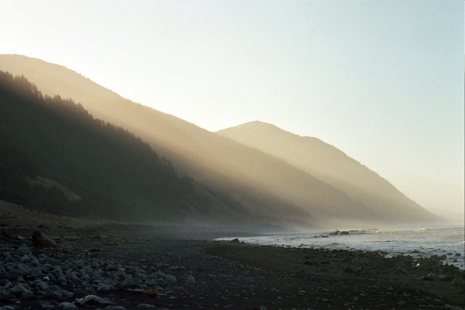
Two women eager to tackle Double Cone. Seemed fitting. But when we read the tid bits of information online about the trail to Ventana Double Cone in Big Sur, the results were confusing. Some “reviews” told of an impassable, totally obstructed trail with zero water, while others spoke of it as a delightful hike with gorgeous views; the mileage was unclear. Per usual with internet findings you have to find the truth somewhere in the middle. Or by just trying it out for yourself. We found out pretty much for sure that there was water at our camp destination at Pat Spring, and decided to take on the potential challenge. How obstructed could a trail really be?
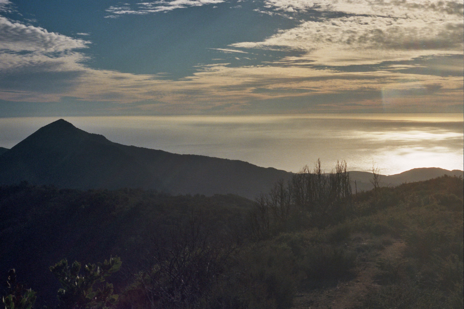
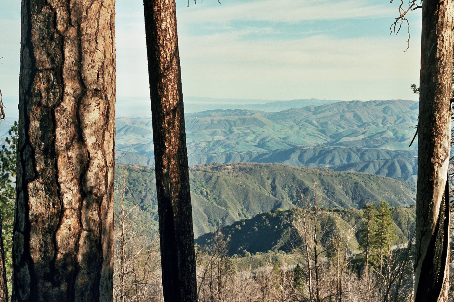
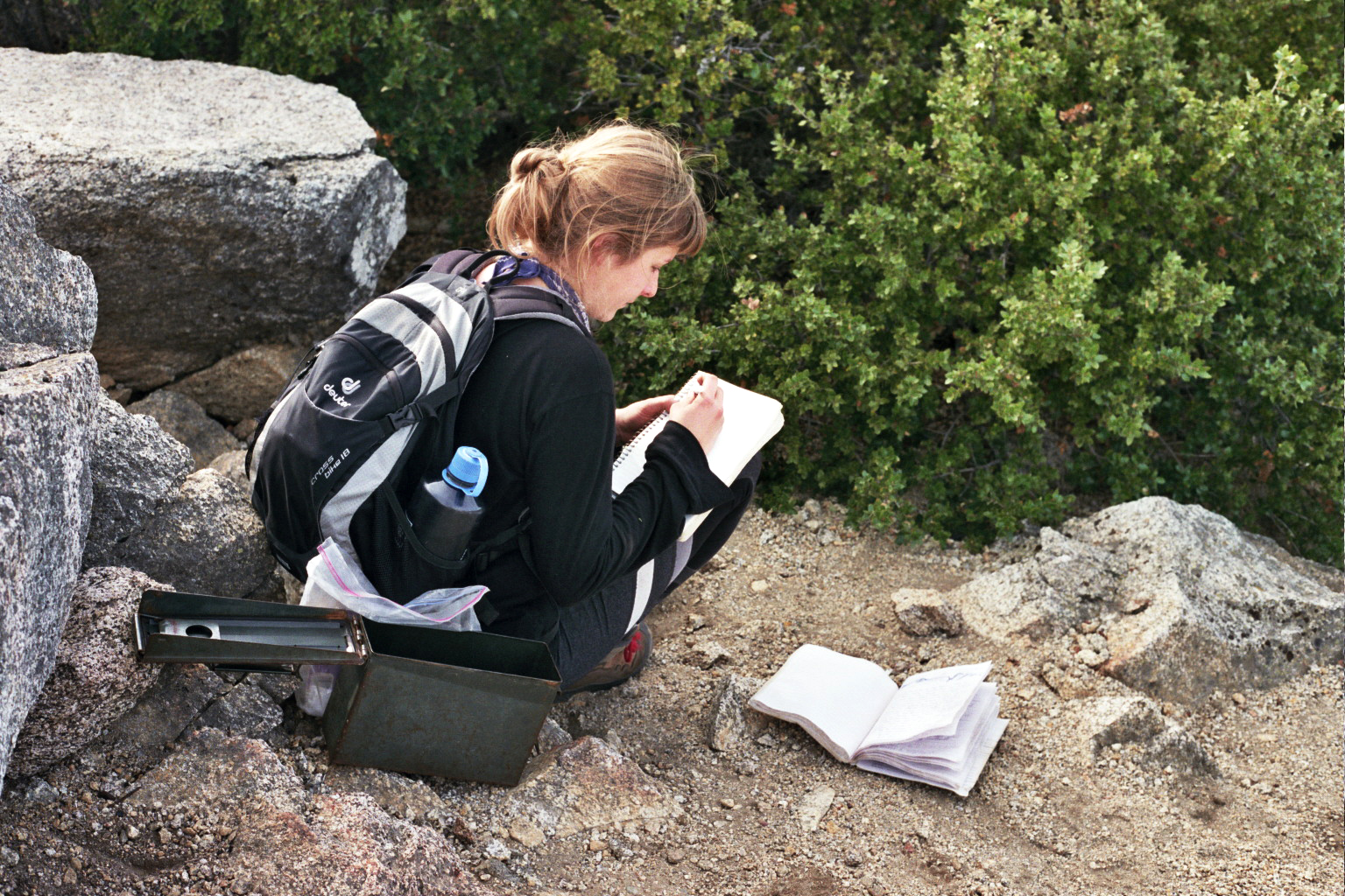
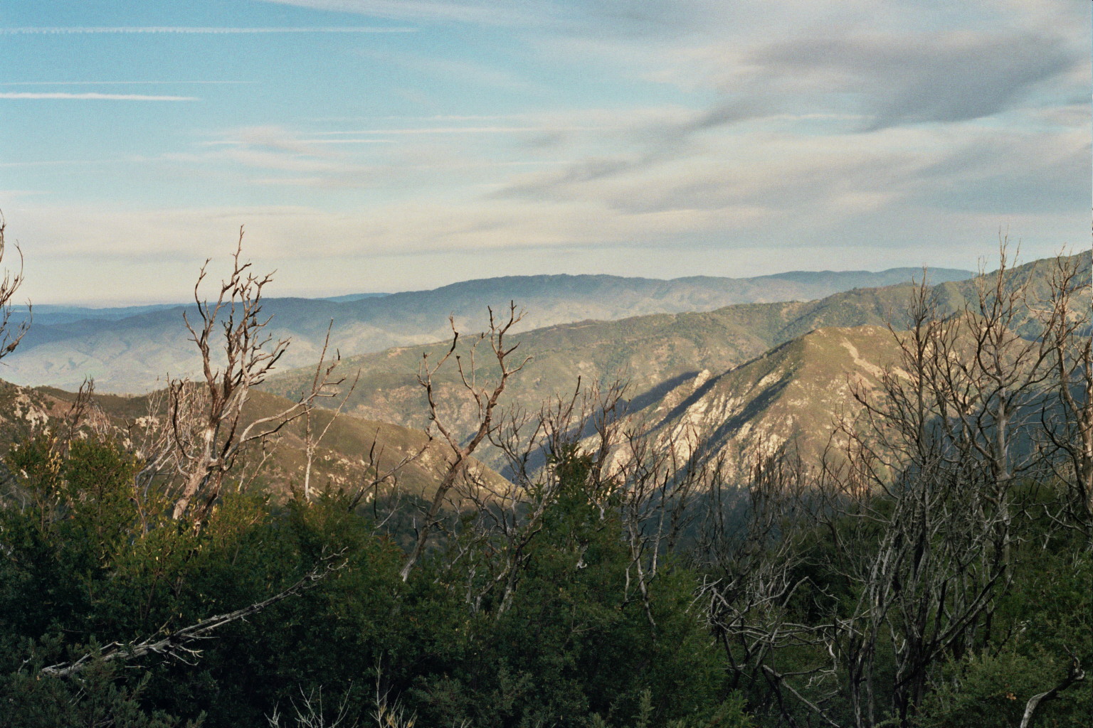
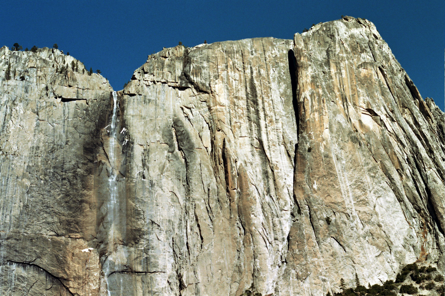
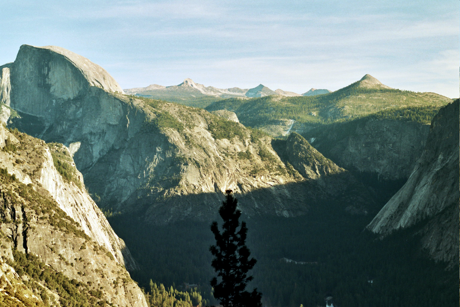
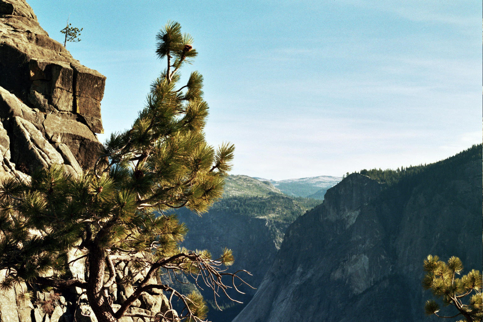
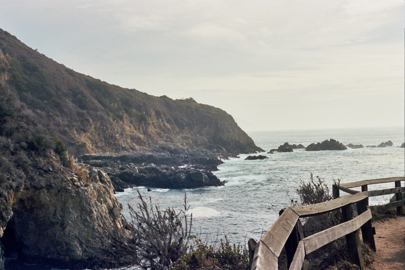
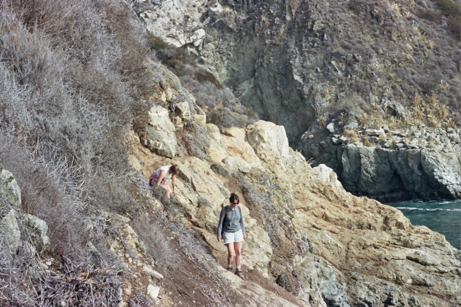
We doubted our negative informers, and we underestimated ourselves. The trail was longer than planned, and invisible at times, but we found our way to the top of Double Cone. And back down. We had nearly enough daylight left to take some photos, write in the mountain-top log book, and begin our 8.5 mile journey back to camp, with the last hour and a half in the dark. We didn’t listen to everything we were told by the internet, or the Eeyore-like ranger, or even those we encountered along the way. We took pieces of it all, said fuck it and went for it, and ended up with a true adventure of our own.

CrampedUp_DoubleCone_4

CrampedUp_DoubleCone_1

CrampedUp_DoubleCone_3

CrampedUp_DoubleCone_6

CrampedUp_DoubleCone_15

CrampedUp_DoubleCone_7

CrampedUp_DoubleCone_8

CrampedUp_DoubleCone_1

CrampedUp_DoubleCone_12

CrampedUp_DoubleCone_14

CrampedUp_DoubleCone_14

CrampedUp_DoubleCone_9

CrampedUp_DoubleCone_16

All photos taken with 35mm film on a Canon AE-1.

A Warm Winter’s Hike

Just A Day, Trips

CrampedUp_YosemiteFalls_5

Winter. It can mean different things to different people. It represents the end of a year, a time to hibernate indoors, and a chance for the plants and animals to take a rest before the cycle starts a-new. It means unimaginable cold temperatures in most of the country, where you don’t dare go outside unless you absolutely must. In these places in January, you know you’re only half-way through this season, and you’ll have to wait until April, or even May, before you’re hanging around in a t-shirt again.
In California, winter is just a New England’s Autumn day, yet it’s cold feeling when you’re used to temperate weather all year round. But every year since we moved to this great state we are granted a few weeks of real warmth and sunshine right smack in the middle of January. It’s like clockwork, and maybe it didn’t used to be like this, and maybe global warming is to thank, but we appreciate the thaw and the chance to enjoy some beautiful places that are usually bitter cold (by California standards) this time of year.
Hike to Upper Yosemite Falls – Yosemite National Park – 7.2 miles round trip
This is North America’s tallest waterfall at 2,425 ft.

CrampedUp_YosemiteFalls_9
CrampedUp_YosemiteFalls_7

CrampedUp_YosemiteFalls_3

CrampedUp_YosemiteFalls_2

CrampedUp_YosemiteFalls_1
CrampedUp_YosemiteFalls_8

CrampedUp_YosemiteFalls_4
CrampedUp_YosemiteFalls_12

CrampedUp_YosemiteFalls_11

CrampedUp_YosemiteFalls_10

All photos shot with 35mm film on a Canon AE-1.

The Nature of Desolation

Trips

CrampedUp_JoshuaTree8

As the wind blows free through the desert, meandering through groves of Joshua trees, cacti, and clumps of various Lichen, one can hear its sound; almost an echo.  We can’t help but think that the desert is solitary, an encapsulation of a sort of insulated loneliness.
Coming from the thriving Sierra where vibrant greens top the tallest trees, rivers flow with deafening aggression, and monoliths of granite jut up through the sky, our wilderness is sheltered and comforting.  Here, in Joshua Tree there is an awesome sense of nothingness and we are left with a clean slate to ponder the landscape, along with the sharp emotion of the nature of desolation.
Isn’t it ironic then to have inhabited places within a wilderness like this.  As one looks at the crumbling buildings along the Salton Sea, there is the realization that it can understandably hold hands with a place like Joshua Tree despite the footprints of our predecessors. That the same feeling of quieted loneliness exists here as it does in the barren desert.  That we as an invasive species built this and claimed it as our own with buildings, boats, and hotels… and yet, a short time later the desert reclaimed it and forced us out.

CrampedUp_JoshuaTree3

CrampedUp_JoshuaTree6

CrampedUp_JoshuaTree9   CrampedUp_JoshuaTree5

CrampedUp_JoshuaTree4  CrampedUp_JoshuaTree2

CrampedUp_JoshuaTree1
CrampedUp_SaltonSea3

CrampedUp_SaltonSea2

CrampedUp_SaltonSea1

All photos shot with 35mm film on a Canon AE-1.

Our Ocean’s Majesty

Trips
Autosave-File vom d-lab2/3 der AgfaPhoto GmbH
– Big Sur –
The deep churning waters stretch as far as the eye can see. We imagine we catch the shadow of China, off in the horizon. Out there in the faraway ocean where tankers and fishing boats float, seaweed and waves crash, the migrating whales and the cold waters, and the endless sea lives on; that is what we look upon, humbly perched on giant rocks. We are ants, and we could be washed away with one rogue wave.
Autosave-File vom d-lab2/3 der AgfaPhoto GmbH
All photos taken with 35mm film.

Baja California – Rise and Shine

A Little Longer, Trips
Autosave-File vom d-lab2/3 der AgfaPhoto GmbH
A sunrise out of the sea is hard to come by in California. Camping on the Sea of Cortez, although mainland Mexico lies beyond, you get to see the warm sun rise straight out of the water. The salty sea clashes smoothly with the sprawling desert that surrounds, and in the early morning, with not a soul in sight, it seems like another planet.

Autosave-File vom d-lab2/3 der AgfaPhoto GmbH Autosave-File vom d-lab2/3 der AgfaPhoto GmbH Autosave-File vom d-lab2/3 der AgfaPhoto GmbH Autosave-File vom d-lab2/3 der AgfaPhoto GmbH

All photos taken with 35mm film.


Baja California – A Cold One on Coco

A Little Longer, Trips
Autosave-File vom d-lab2/3 der AgfaPhoto GmbH
On a rough dirt road somewhere between San Felipe and the intersection of Rt. 1 and Rt. 12 lies Coco’s Corner, a legendary Baja pit stop teeming with character in the middle of nowhere.  Upon approach the place looks somewhat derelict, a ramshackle shelter decorated with empty cans in the middle of the desert and few, if anyone, around.  Pulling in, you hear the sounds of the welcoming, thousands of empty cans singing in the warm Baja wind.
A boat, a hanging dirt bike, two out-houses, a circle of abandoned toilets focused on prime time broken television, hundreds of photos of off-roaders and dirt bikers, panties upon panties dangling from the rafters, and finally, a call from your host, Coco, an older fellow with good cheer and humor that warrants at the very least a beer worth of visiting.  Coco is missing the bottoms of both legs but is quite spry none the less; he loves visitors and talking about the area he lives in, as well as a shooter or two from his plastic jug of brandy from behind the counter.  In the end, Coco’s Corner is a place that holds magic and the true essence of the lesser traveled desert Baja.

Autosave-File vom d-lab2/3 der AgfaPhoto GmbHAutosave-File vom d-lab2/3 der AgfaPhoto GmbHAutosave-File vom d-lab2/3 der AgfaPhoto GmbHAutosave-File vom d-lab2/3 der AgfaPhoto GmbHAutosave-File vom d-lab2/3 der AgfaPhoto GmbHAutosave-File vom d-lab2/3 der AgfaPhoto GmbH


All photos taken with 35mm film.

Baja California – The Road and The Desert Sea

A Little Longer, Trips
Autosave-File vom d-lab2/3 der AgfaPhoto GmbH
Last Christmas we spent five days exploring the roads of Northern Baja California, Mexico. Sometimes a place isn’t what you expect it’s going to be, and you keep driving until you find at least a hint of what it was you thought you were looking for. It’s at that point that your vacation becomes a true adventure and a rigorous journey, and you run with what you’re given.
Autosave-File vom d-lab2/3 der AgfaPhoto GmbH
All photos taken with 35mm film.

Steep Ravine

Trips, Weekends
Autosave-File vom d-lab2/3 der AgfaPhoto GmbHAutosave-File vom d-lab2/3 der AgfaPhoto GmbHAutosave-File vom d-lab2/3 der AgfaPhoto GmbHThe wood is dark and damp, the sky grey, with fog and rain continually passing by; our small cabin is warm and filled with the wafting smells of my family’s Portuguese Kale Soup recipe simmering on the time worn and crackling wood stove.  Lantern and tea lights burn low providing us just enough glow to fill our wine glasses and play card games for hours.  A singular midweek night that, for all intents and purposes, should never end.  Welcome to Northern California, we hope you love it here.


Autosave-File vom d-lab2/3 der AgfaPhoto GmbH
 All photos taken with 35mm film.

Lost Coast Patriotism

A Little Longer, Trips

Autosave-File vom d-lab2/3 der AgfaPhoto GmbH

Happy 4th of July everyone, this year leave the BBQ to your neighbors and do the most patriotic thing you can – explore and treasure your protected lands. (Or just combine it all and break out the Dutch Oven BBQ ribs over the campfire).
Lost Coast 4th of July – Black Sands Beach to Mattole River
South to North – 24.4 miles
Day 1 – 8 miles – Black Sands Beach to Big Flat
Day 2 – 6 miles – Big Flat to Oat Creek
Day 3 – 7.2 miles – Oat Creek to Punta Gorda
Day 4 – 3.2 miles – Punta Gorda to Mattole River
More photos after the jump of last years 4th of July backpacking adventure along the northern half of California’s Lost Coast.